![[3731608] Flamm’s New Map of Baltimore and Vicinity Compiled from Latest Records and Official Surveys. Wm. R. G. Irwin.](https://rareamericana.cdn.bibliopolis.com/pictures/3731608.jpg?width=768&height=1000&fit=bounds&auto=webp&v=1648153861)
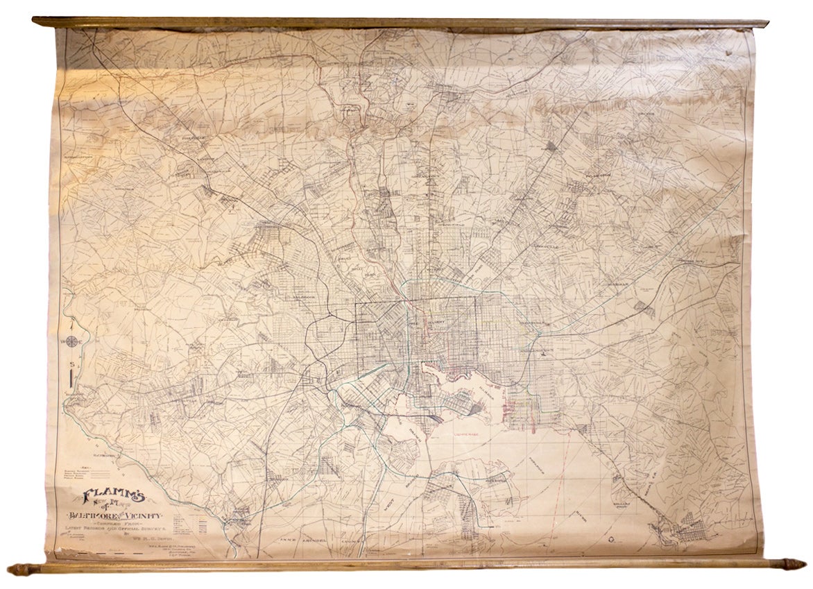
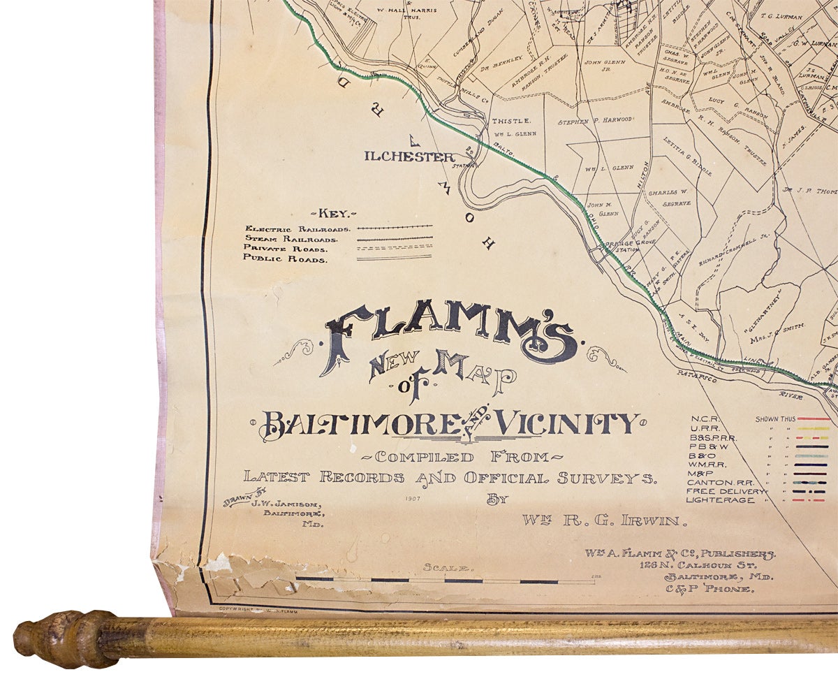
Flamm’s New Map of Baltimore and Vicinity Compiled from Latest Records and Official Surveys.
—
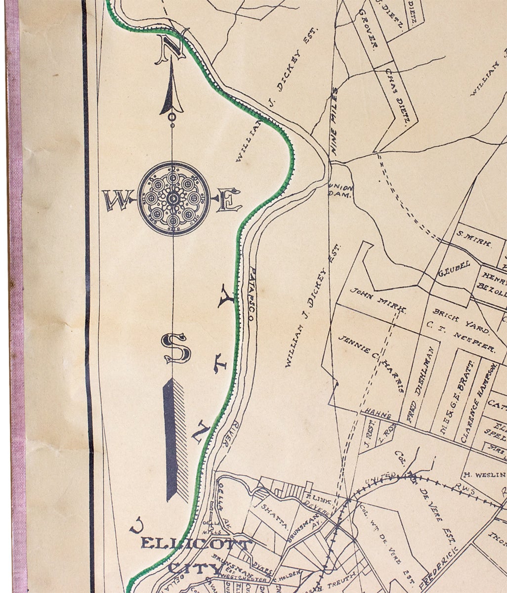
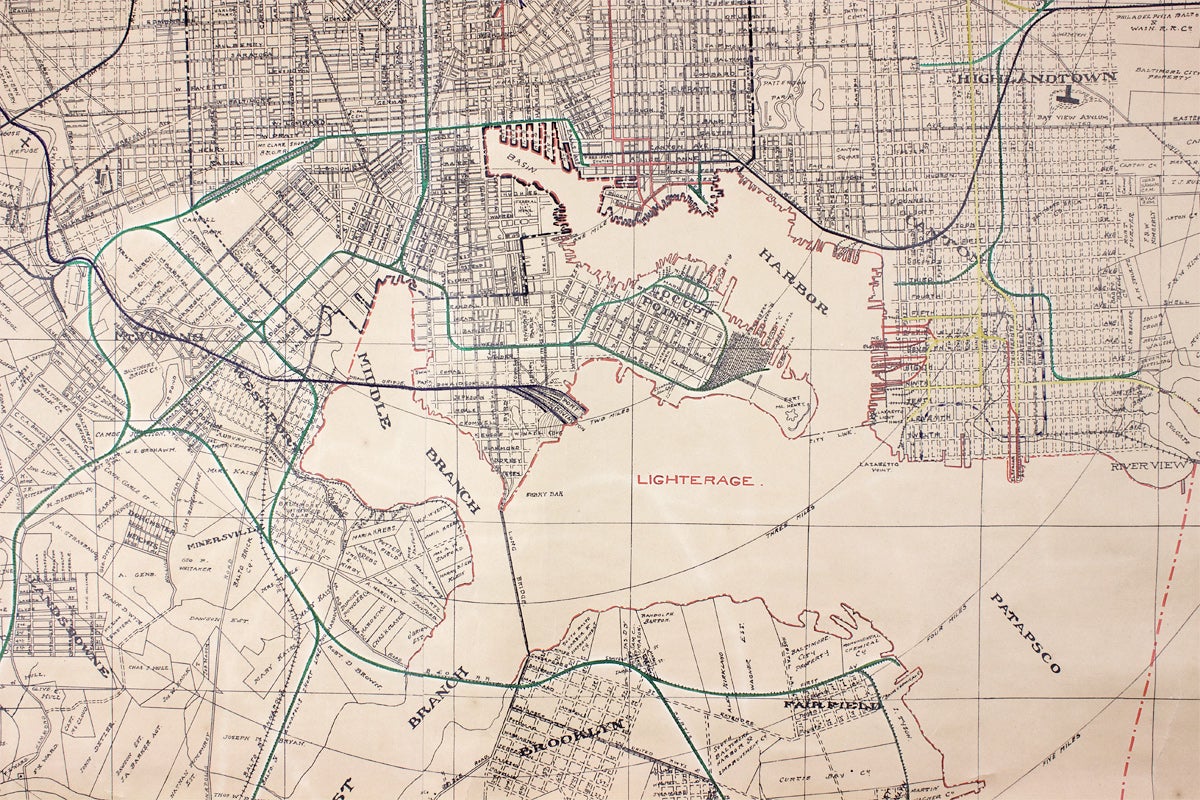
Early twentieth century wall map of Baltimore and its environs including parts of Baltimore, Howard, and Anne Arundel Counties, Maryland. Baltimore City, its harbor, and the upper reaches of the Patapsco River are shown at the bottom center with Towson, Maryland to the north. The span of the map covers Owings Mills and Ellicott City to the west and Perry Hall and Sparrow’s Point to the east.
The map was drawn by J.W. Jamison of Baltimore. Color highlights indicate railroad and local transit lines, the bounds of a “Free Delivery” zone in Baltimore City, and designated ship lighterage areas in the harbor and the various branches of the Patapsco River.
OCLC records one copy at JHU; theirs is lined-mounted and folded.
Description: Flamm’s New Map of Baltimore and Vicinity Compiled from Latest Records and Official Surveys.
Baltimore: Wm. A. Flamm & Co. Publishers, 1907. 50 x 66 inches. Printed on two sheets; original linen backing and ties; wooden rollers. Browning and moderate flaking at top and bottom edges, tender where the map meets the rollers; tideline about 10 inches below top edge; light wear to cloth edges; overall toning; unvarnished; Good.
[3731608]Price: $350.00